River Ready puts real-time flow, clarity, and water temperature for 10,000+ USGS gauges in your pocket — with current conditions, hourly, and 5-day weather right beside them. So you fish the water, not a guess.
Rain upstream turns a clear run to mud in an afternoon. Snowmelt spikes the flow. A cold front drops the water and shuts the hatch off.
The river doesn't post its own conditions — and neither does the sky. The only way to know before you drive two hours is to look, and River Ready makes that one tap, on any of 10,000+ gauges across all 50 states and Washington, D.C.
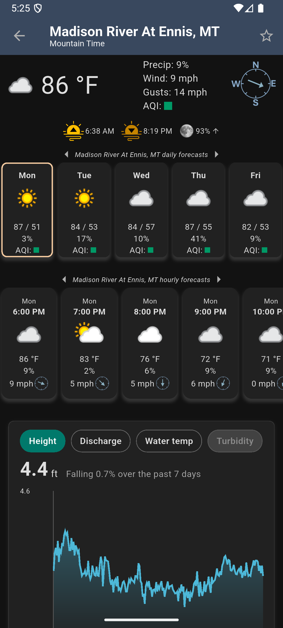
Gauge height and discharge. Is it wadable, or blown out?
Turbidity, read as clear to muddy — the honest answer to "can I see my feet?"
Fish move when the water does. See the trend before the hatch.
Conditions, wind, sun and moon times, and air quality for every gauge.
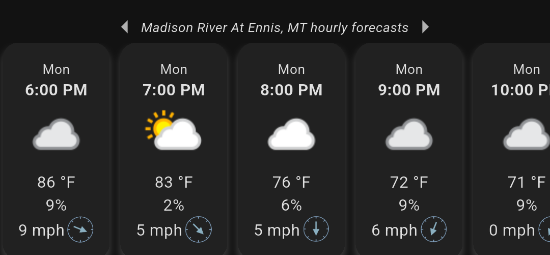
The water tells you if it's worth fishing — the forecast tells you when. River Ready pairs each gauge with current conditions, an hour-by-hour forecast, and a 5-day outlook, so you pick the window when the wind drops and the hatch rises.
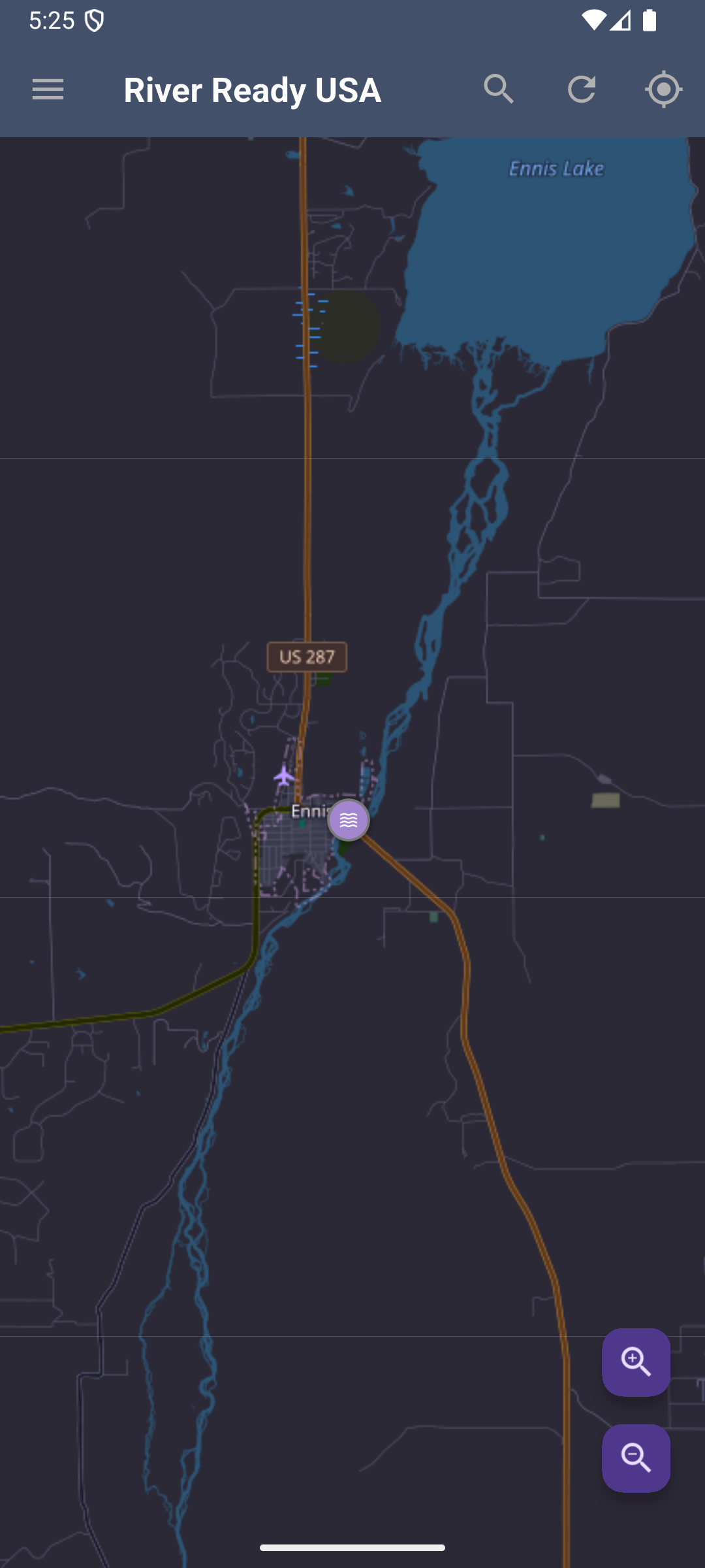
Every USGS gauge in the country on one map, or search by river and place name.
Jump to flow, clarity, temperature, and weather for that exact stretch.
Trends in the gauge's own timezone, in feet and ft³/s — save the ones above and below your water.
Stop guessing whether it's worth the drive. Check the flow, the clarity, the water temperature, and the forecast before you leave the house.